
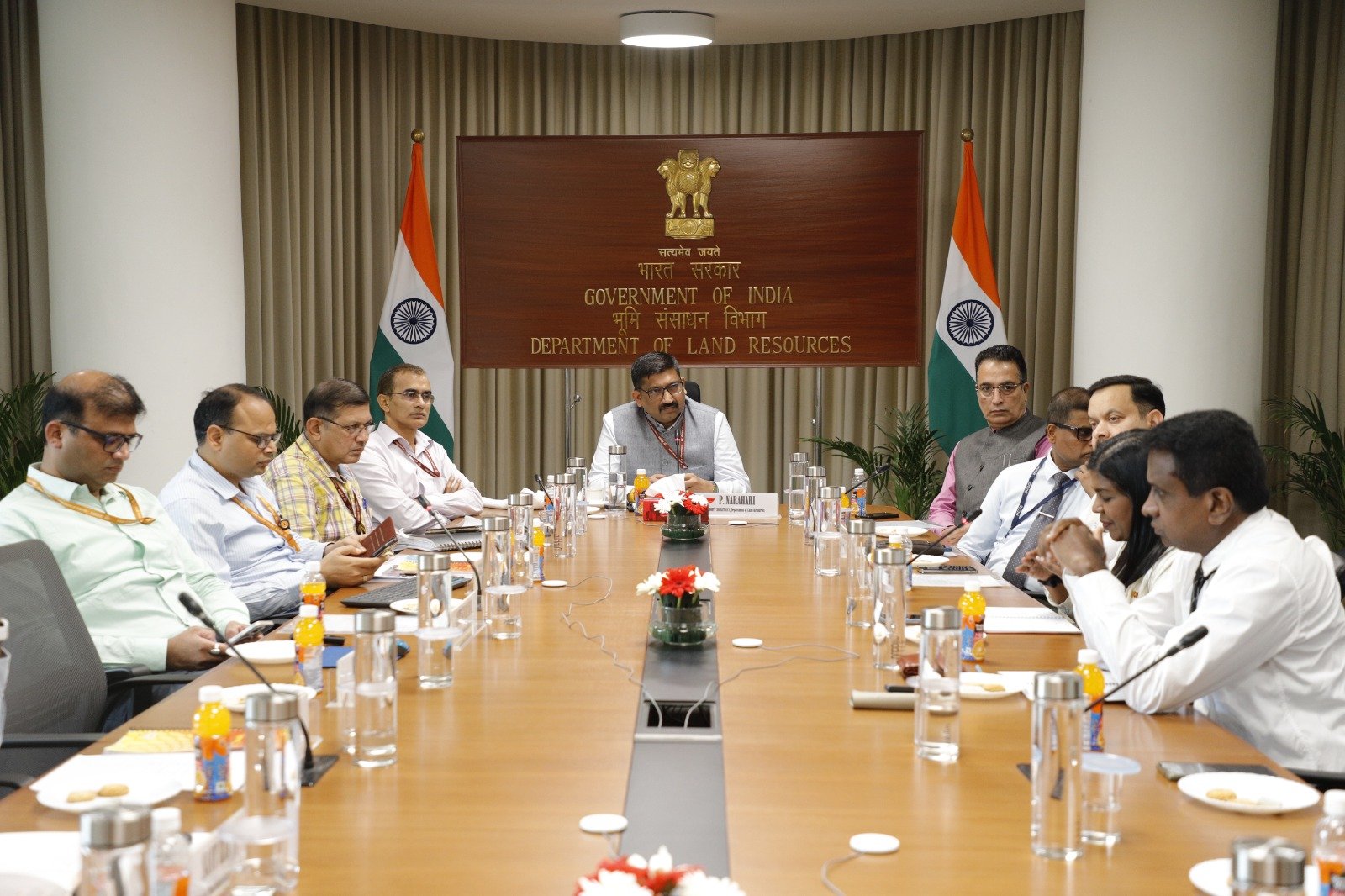
The Department of Land Resources (DoLR), Ministry of Rural Development, today hosted a delegation of civil servants from Sri Lanka visiting India under an exposure programme coordinated by the National Centre for Good Governance (NCGG). The interaction was held under the chairpersonship of Shri P. Narahari, Joint Secretary, Department of Land Resources, and focused on India’s experience in digitising and modernising land records, with emphasis on the Digital India Land Records Modernisation Programme (DILRMP), computerisation of Records of Rights (RoRs), integration of registration with land records and the Unique Land Parcel Identification Number (ULPIN).
The Sri Lankan delegation was led by Ms. Pathirage Laxman Pathmakumari, Team Leader of the Delegation, Sri Lanka, and included Dr. Mukesh K. Bhandari, Course Coordinator, National Centre for Good Governance, LBSNAA, and Dr. A.P. Singh, Course Director, along with senior officials from Sri Lanka’s land, survey and administrative services.
Welcoming the delegation, Shri P. Narahari highlighted the close ties between India and Sri Lanka and the importance of sharing experiences in public administration. He said, “Land is not merely an administrative record; it is closely linked to livelihoods, economic activity, access to government benefits and citizens’ sense of security. India’s experience has been one of continuously modernising land administration through technology, while recognising the diversity of our States and their land systems. We are pleased to share these experiences with our Sri Lankan colleagues and equally look forward to learning from their institutional practices and reforms.”
During the interaction, Shri Amit Kumar Singh, Director (LR), DoLR, presented an overview of the macro reforms and technological framework powering DILRMP. He highlighted India’s transition from conventional paper-based records to integrated digital land information systems.
Shri Amit Kumar Singh said, “The transformation of land records is not merely about converting paper records into digital form. The larger objective is to create an integrated land information ecosystem where textual records, spatial information, registration data and geospatial technologies complement each other.”
Key DILRMP milestones shared with the delegation included:
- 99.90% of textual Records of Rights (RoRs) computerised.
- 97.43% of cadastral maps digitised and 76.16% of land parcels fully georeferenced.
- 85.24% spatial-textual integration achieved between cadastral maps and RoRs.
- 40.58 crore+ land parcels assigned the 14-digit alphanumeric Bhu-Aadhaar (ULPIN).
- 98.96% of Sub-Registrar Offices (SROs) computerised.
- 17 States/UTs adopting the centralised National Generic Document Registration System (NGDRS), while 17 States operate state-specific digital registration software.
- 94.11% of Revenue Courts computerised under the Revenue Court Case Management System (RCCMS), enabling real-time litigation marking on property records.
The delegation was also briefed on the integration of cadastral maps and Records of Rights to ensure consistency in ownership details, parcel boundaries and area information.
The interaction covered the integration of property registration with land records through mutation, including ongoing reforms towards paperless registration and automated mutation. Under the emerging system, registration information can be electronically transmitted to the concerned revenue authority for updating land records, reducing delays and the need for repeated visits to government offices.
The delegation was also given a walkthrough of the Bharat Land Stack, an integrated, GIS-based federated architecture bringing together satellite and drone imagery, georeferenced cadastral boundaries, Records of Rights, property registration data, master planning and zoning regulations, building approvals, restrictions and litigation, circle rates and tenancy details. The architecture seeks to provide an integrated digital view of land-related information associated with a parcel.
The visiting officials were further briefed on ULPIN, or Bhu-Aadhaar, which assigns a unique 14-digit alphanumeric identity to land parcels based on their geospatial coordinates. The system facilitates linkage of land parcels with other land-related datasets and maintains linkages when parcels undergo subdivision.
Shri Sarvadanand Barnwal, Director (LR), DoLR, presented a comprehensive overview of the NAKSHA (National Geospatial Knowledge-based Land Survey of Urban Habitations) programme and its approach to modernising urban land records through advanced surveying and geospatial technologies.
The presentation detailed the end-to-end NAKSHA workflow, including:
- Deployment of 2D Nadir cameras, 5-camera Oblique systems and LiDAR sensors mounted on aerial drones for centimetre-level positional accuracy.
- Generation of Ortho-Rectified Imagery (ORI), Digital Elevation Models (DEM) and 3D Reality Models for complex urban landscapes.
- RTK GNSS rover-based ground truthing, participatory ground validation and transparent claims and objections redressal.
- Aerial flying completed across 145 of 150 Urban Local Bodies (ULBs) under the pilot phase, progressing towards issuance of legally authentic Urban Property (UrPro) Cards.
Shri Sarvadanand Barnwal said, “NAKSHA is an important step towards strengthening urban land governance through modern geospatial technologies. By creating reliable and integrated urban land records, the programme can support better land administration, improve planning and contribute to greater ease of living for citizens.”
The interaction provided the Sri Lankan delegation with an overview of India’s experience in large-scale land governance reforms, spanning digitisation of land records, spatial-textual integration, digital registration, mutation, geospatial identification of land parcels, computerisation of Revenue Courts and modern urban land mapping.
The engagement underscored the importance of international knowledge-sharing in public administration and highlighted how digital and geospatial technologies can support transparent, integrated and citizen-centric land governance and improve public service delivery.